Aircraft Crash Sites in the Brecon Beacons
|
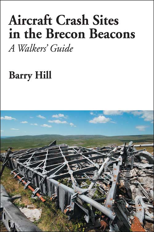
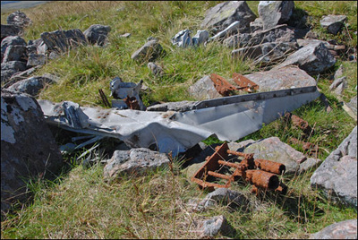
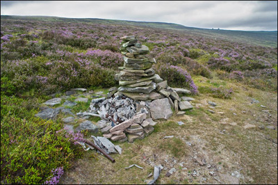
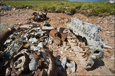
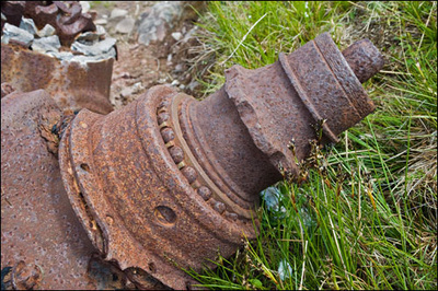
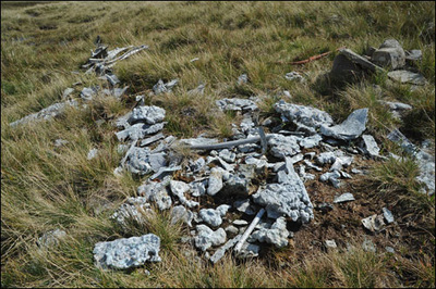
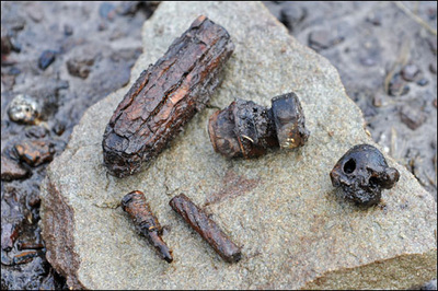
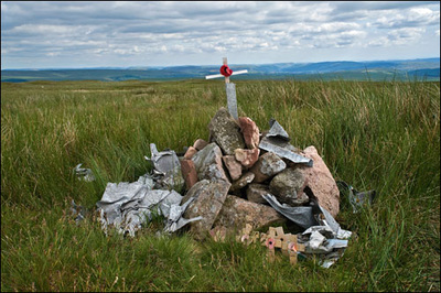
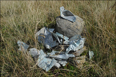
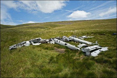
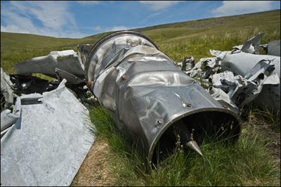
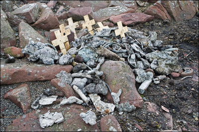
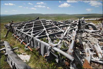
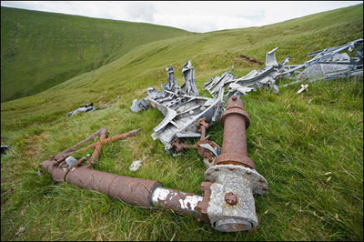
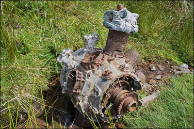
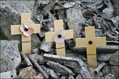
Over the summer of 2010, I have been steadily locating the recorded aircraft crash sites within the Brecon Beacons National Park, this has been quite a challenge as a lot of the grid references found in various publications all seem to use the same grid reference which must had been recorded before the days of GPS, making a lot of these sites very difficult to locate. So once I have actually located a site, it is recorded with a good number of photographs and it's location plotted using GPS and a eight figure grid reference. All of these sites which are on open access land are now being transferred into a book complete with a small bit of history about that particular aircraft and the faith of the crew on board, plus I have prepared some maps to show the best place for parking and the walking route to the particular site, plus of course plenty of images so that you can see what is still at the crash site once you have found it.
This A5 book contains details of 12 Crash Sites with wreakage and 11 with no wreakage all on open access land, 12 maps, 122 pages with 116 monochrome images and 3 colour images on book covers. Cost £10 plus £2.75 P&P. ISBN 978-1-905795-79-6 This book is also available to purchase from the Tourist Information Office in Brecon, Hay on Wye, Crickhowell and The Mountain Centre at Libanus. It is also stocked in Crickhowell Adventure at both the Brecon and Crickowell outlets. For more information on the availability of this book then just Email me . |
